About Us
Atlantis Aerial & Geospatial Services is a Calgary-based survey company that provides aerial mapping and CAD/GIS services.
With almost two decades of experience in the survey industry, we bring you the ultimate custom solution tailored to your specific survey needs.
Book a call with us to discuss your project and find out how we can help you.
Services

Survey
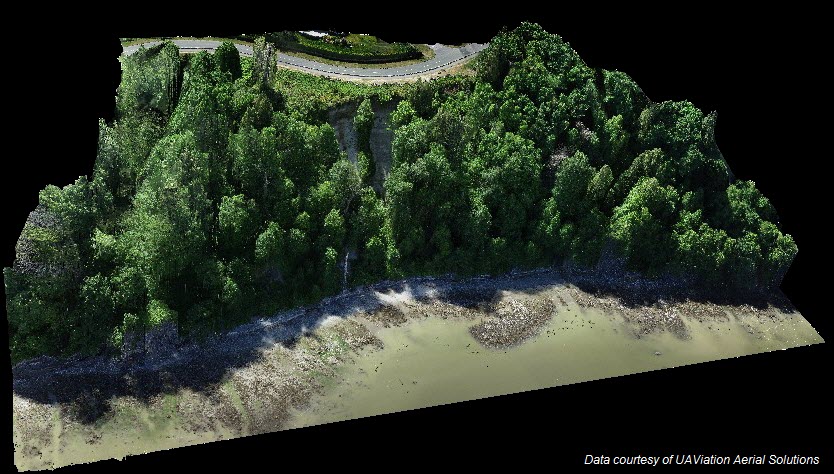
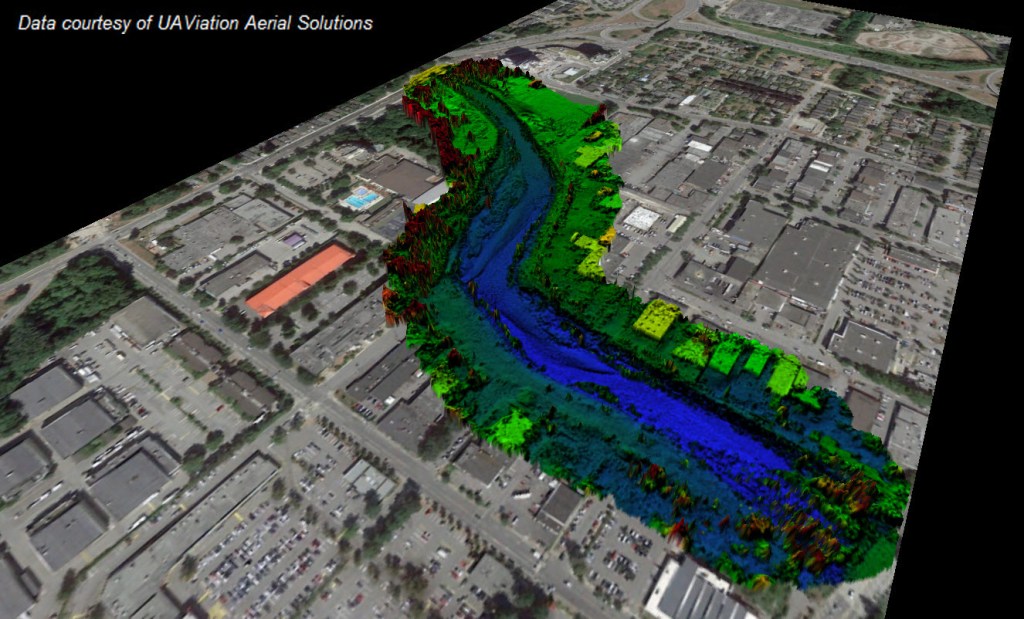
- Drone Mapping Surveys
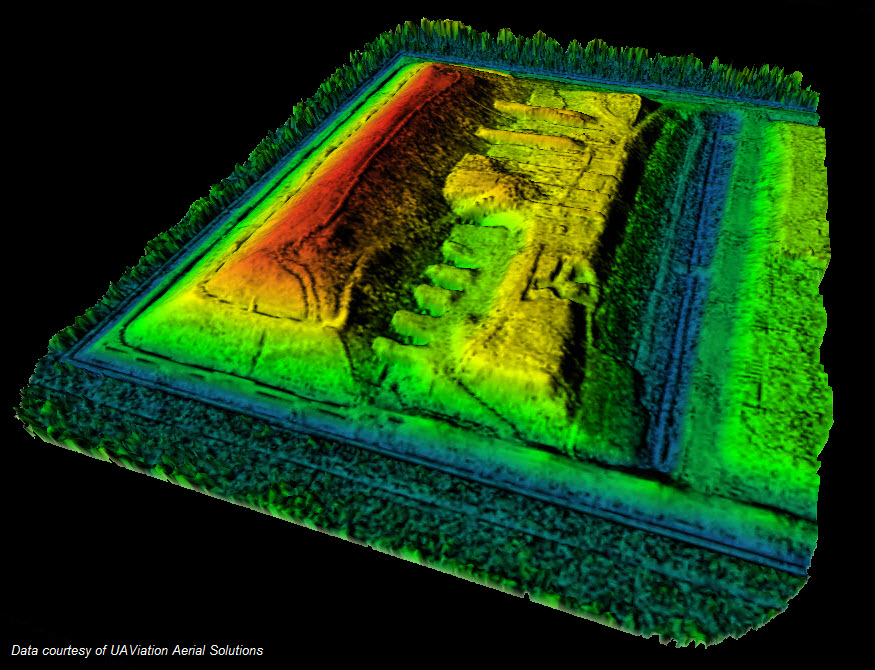
- LiDAR Surveys
- Aerial Photography & Videography
- Cut & Fill (Volumetric) Surveys
- Drone Inspections
- Hydrographic & Geophysical Survey Consultations

Data Processing
- Aerial Data Processing Services
- Hydrographic Data Processing Services
- Geophysical Data Processing & Interpretation Services
- LiDAR Data Classification
- Digital Elevation Models, Orthomosaics, 3D Models, Point Clouds, CAD Drawings, GIS Deliverables
CAD Drafting
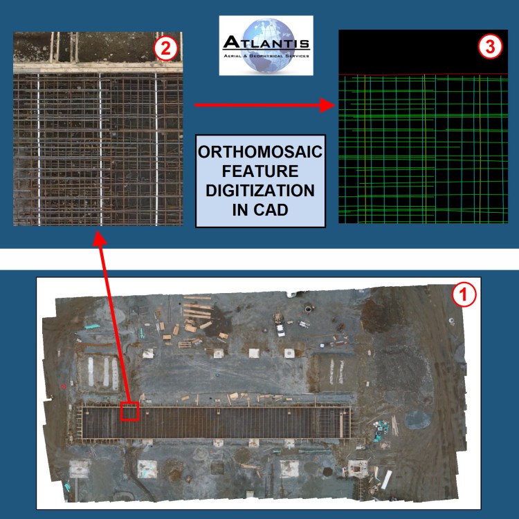
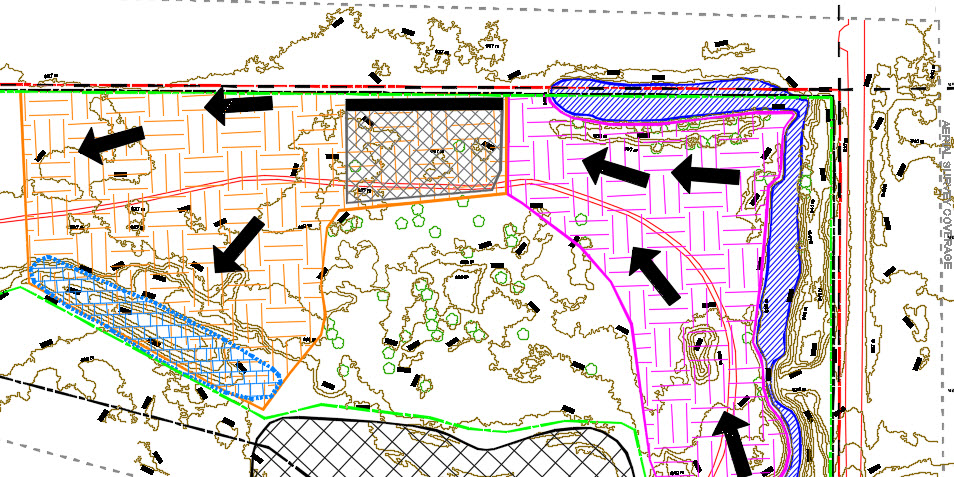
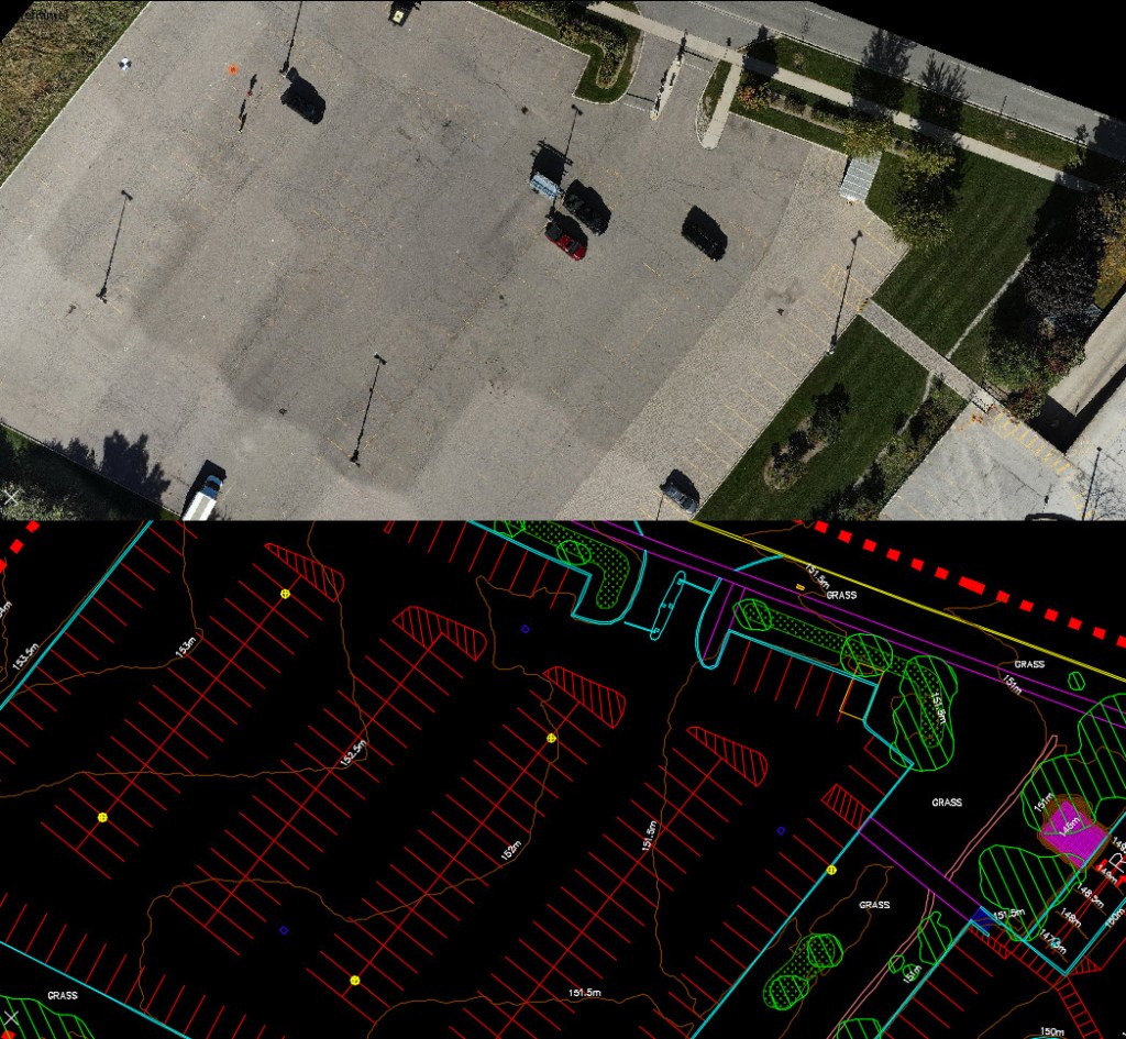
- Feature Digitization & Planimetrics
- Pre-Construction Planning & Design
- Custom GIS Maps
- Detailed Survey Results Reports
Gallery


Contact Us
Your message has been sent

Calgary, AB
Canada
